This project highlights the potential of advanced technology in addressing environmental challenges and enhancing the sustainability of essential infrastructure.
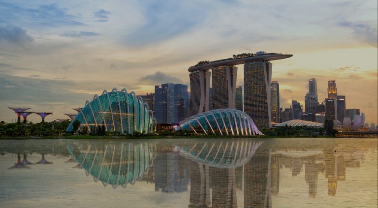
Integrating artificial intelligence (AI) into desalination and water reuse plants has become imperative to elevate operational efficacy and reduce energy consumption.
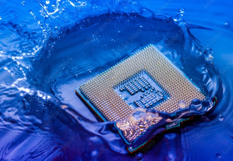
UPM spoke with three experts in the field about the benefits and difficulties of integrating artificial intelligence into semiconductor manufacturing facilities in the form of digital twins.
Gradiant co-founder Prakash Govindan speaks to Tom Freyberg about building an industrial water rocket ship, including the recent acquisition of AI start-up, Synauta.